Feedback
Welches Thema möchten Sie ansprechen?
- Allgemein
- Website
- Radroutenplaner
- Bayernnetz für Radler
- Radverkehr
- iOS-App
- Android-App


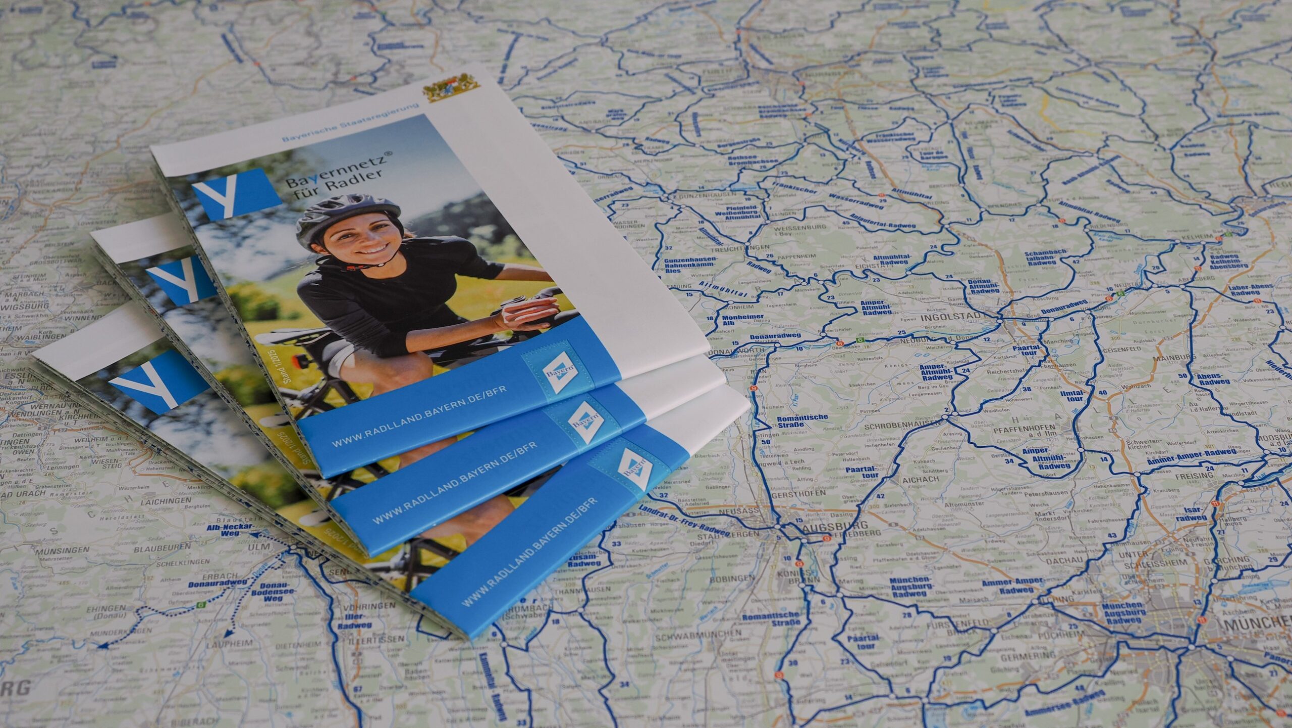
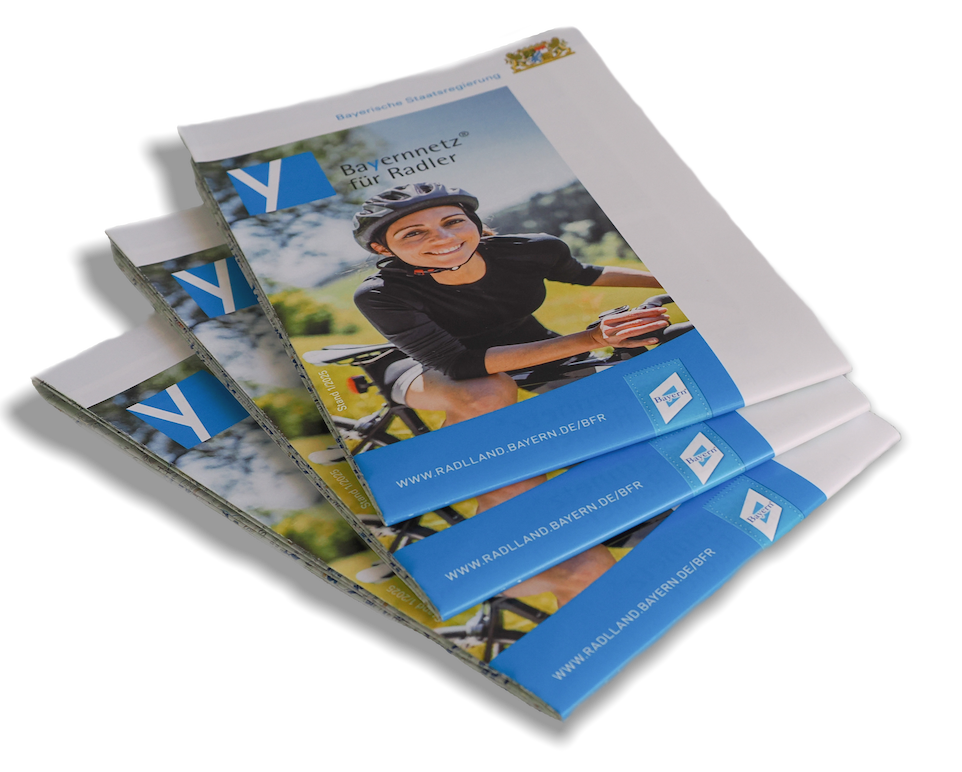
The paper map ‘Bayernnetz für Radler’ at a scale of 1:500,000 offers an overview of the approximately 125 thematic routes that make up the Bayernnetz für Radler. The paper map displays the D-Routes and the Eurovelo routes in Bavaria as well.
On the reverse side of the paper map we offer – only in German – a detailed description of the cycle route signage, further information about our partners and basic information about the website and app.
The perfect companion for touring cyclists that is available at many tourist information offices.


Die Bayernnetz für Radler Fahrradkarte ist der perfekte Begleiter für jeden Freizeit- und Tourenradler.
Jetzt kostenfrei bestellen!